Reading the ground plan
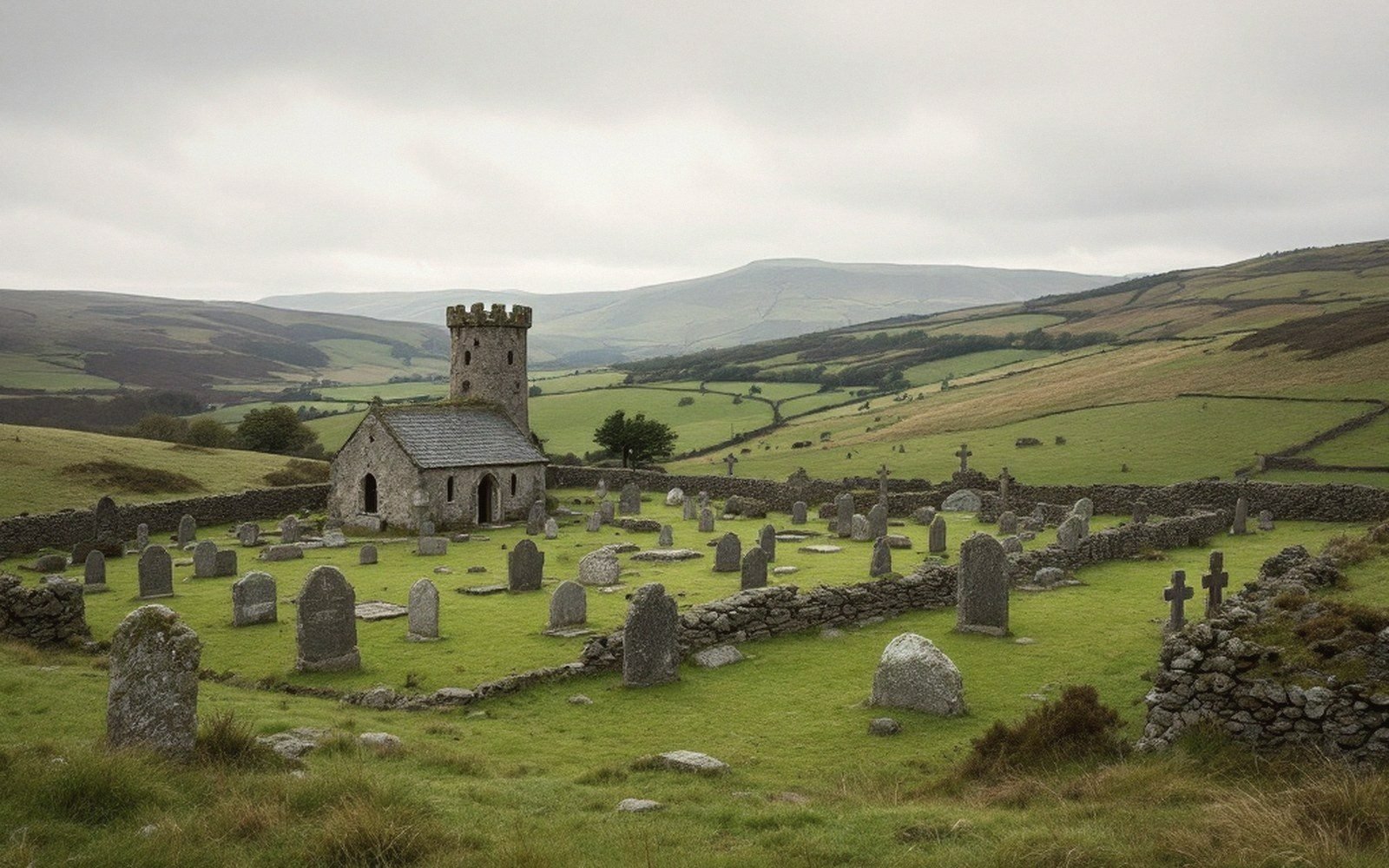
The most reliable indicator of an early medieval monastic site is the enclosure itself — the vallum, a bank-and-ditch boundary that separates the consecrated interior from the secular world beyond. In plan, it is usually curvilinear rather than rectilinear, reflecting the tradition of enclosing a roughly circular or oval area. At many sites, aerial photography or lidar survey has revealed the ghost of this boundary even where the bank has been levelled and the ditch silted flat. The diameter of the enclosed area gives a rough index of the settlement's scale: small hermitage sites may enclose a few dozen metres across; major foundations such as Clonmacnoise and Armagh enclosed considerably larger zones, and at the largest sites a concentric arrangement of inner and outer enclosures separated zones of activity by status or function.
Within that boundary, the spatial arrangement of structures follows a recognisable pattern, though rarely a rigid one. The principal church — usually the earliest surviving or reconstructable building — tends to occupy a slightly elevated or central position within the enclosure. In the earliest periods it was almost certainly timber; the shift to mortared stone happens unevenly across different sites and different centuries, and where stone churches do survive, they were often built over or beside earlier timber predecessors whose traces survive only as post-holes or soil-colour changes in excavation. Size matters: the principal church was not large by any later standard, and the majority of early Irish stone churches are strikingly small, more in the range of an oratory than a nave-and-chancel structure.
Cells, burials and the working landscape
Around the church, the evidence for habitation takes several forms. Beehive cells — corbelled dry-stone huts of the kind preserved at Skellig Michael — are the most visually striking survivors, but they are largely confined to the west of Ireland and to island and coastal sites where stone was abundant and timber scarce. Elsewhere, the cells that housed monks were almost certainly wattle-and-daub or timber structures that have left nothing above ground. Excavation, when it happens, finds post-holes, hearth deposits, and spreads of domestic debris that confirm habitation without reconstructing its exact form. The evidence for craft working — metalworking debris, waste from bone and antler, evidence of manuscript production in the form of iron stylus tips and traces of pigment — tends to cluster in certain areas of the interior, suggesting that the monastic enclosure was functionally zoned even where that zoning is invisible on the surface.
The burial ground is a constant, and often the most archaeologically productive element of the site. Early medieval burials in Ireland are typically extended inhumations without grave goods, laid out in roughly east–west orientation. The distribution of burials relative to the church is informative: proximity to the altar wall, or to a founder's grave marked by an inscribed slab or a free-standing cross, carried prestige. Grave markers range from simple pillar stones with incised crosses to more elaborate slabs with Insular ornament and, in some cases, ogham inscriptions. Where a high cross stands within the enclosure, as at Clonmacnoise or Monasterboice, it almost certainly marks a focal point in the liturgical and commemorative landscape of the site, not merely a decorative accent.
Outside the primary enclosure, many sites show evidence of satellite features: a secondary enclosure for lay workers or guests, a mill site associated with a nearby watercourse, fish weirs, field systems. The monastic settlement was an economic unit as well as a religious one, and its full footprint on the landscape extended well beyond the vallum. Round towers, where they survive, stand within or just at the edge of the enclosure and postdate the earliest phases of most sites by several centuries; they belong to a moment of consolidation and display rather than to the original grammar of the form.
What makes these sites legible today is the persistence of that grammar across very different environments and scales — the same elements, arranged by the same logic, from a windswept Atlantic promontory to a fertile Midland river-bend.
Key elements at a glance
- Vallum — the enclosing bank-and-ditch boundary, typically curvilinear in plan
- Principal church — usually central or slightly elevated; earliest phases in timber, not stone
- Cells — dry-stone (western/island sites) or timber (most elsewhere); rarely survive above ground
- Burial ground — extended inhumations, east–west, clustered around church and founder's grave
- Satellite features — mills, fish weirs, outer enclosures, field systems beyond the vallum
- Round tower — a later addition, not an original element of the monastic plan
Scale as evidence
- Small hermitage — enclosure perhaps 30–50 metres across
- Major foundation (Clonmacnoise, Armagh) — multiple concentric enclosures, substantially larger footprint
- Church buildings: typically very small by later standards — often closer to an oratory in scale